
The Zingaro Park
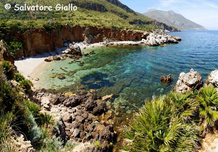
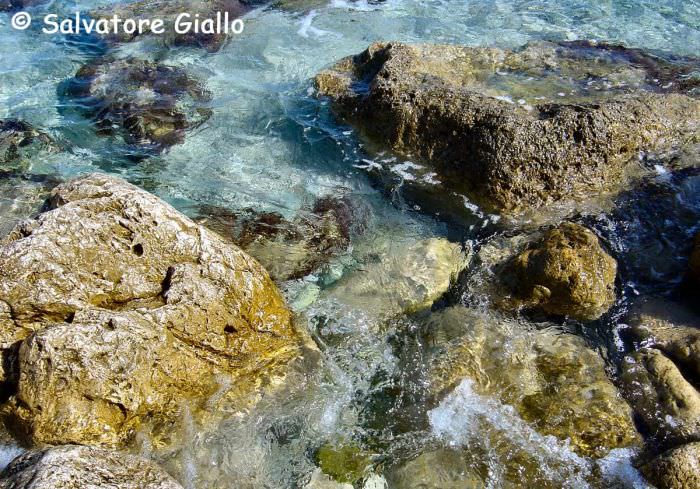
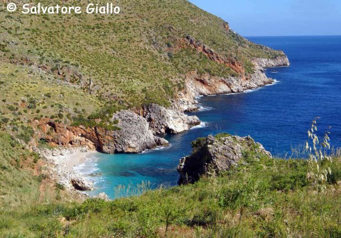
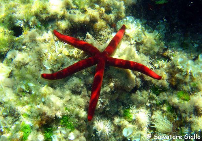
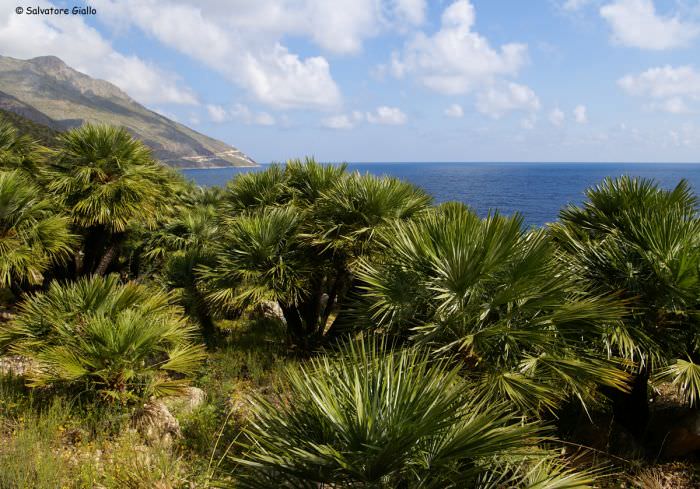
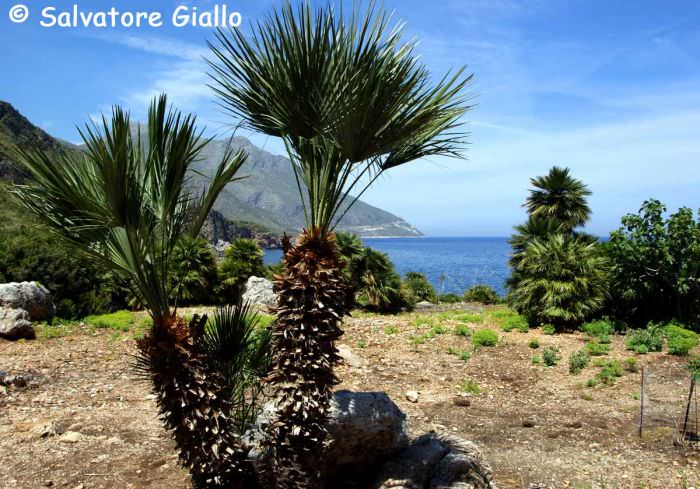
The Zingaro was the first nature reserve established in Sicily and encompasses the stretch of coast, approximately seven kilometers long, between Scopello and San Vito Lo Capo. Very important for its flora, characterized by rare and endemic plants, the reserve is probably even more peculiar in terms of view of wildlife, since the diversity of species present in it can not be found anywhere else in the region. In the Zingaro nest and reproduce about thirty-nine species of birds, especially birds of prey, such as peregrine falcons, kestrels and buzzards. Also interesting for the archaeological aspect, the reserve is home to the magnificent cave Uzzo, site of one of the first prehistoric settlements in Sicily. Inside the reserve you can follow three routes, yet with signs present in it, you can follow alternative routes tailored to the needs and interests of each visitor. Coastal path. It is the most popular trail in the Reserve, and connecting the South entrance (Scopello) with the North (San Vito Lo Capo), has a length of about seven kilometers, walked in a couple of hours. Immediately after the picnic area and the Visitor Center (in which a small Natural History Museum), a bifurcation leads to the bays of Punta Capreria, characterized by their cobblestone beaches. Continuing on the main trail, after a couple of kilometers, you reach Cala del Varo, which houses a small shelter opened only during the summer. Few more kilometers and you reach the district Zingaro, the central area of the Reserve, characterized by the presence of dwarf palms and from which you can easily reach the Cala Disa and Cala Berretta. Then follow the districts of Marinella and Uzzo, with the homonymous beautiful bays. The Cave Uzzo aforementioned is reached via a short detour uphill. Near the cave is the "Museum of Rural Life." Shortly before the North entrance, is the Tonnarella dell'Uzzo, home to the "Museum of the Marine Activities." The water supply of the coastal path are located in Cala del Varo (only during the summer), and in the "Museum of Rural Life" of the district Uzzo. Mid-coast path. It is the path that will undoubtedly offers the most beautiful panorama. It has a length of eight and a half kilometers to travel which takes approximately four hours and a half. Starting from the southern entrance it has to reach the visitor center, from which a steep uphill path that leads to the beginning of the path across the hillside (290 m), parallel to the coastal path crosses the reserve from south to north. After the fork that leads to the forest Scardina (see below, top path), continue until you reach the first Pizzo del Corvo and then the district Cork (367 m), from where you can enjoy a beautiful view and you will find several rural blocks, some of which are a refuge. Continuing to rise, after a few kilometers you reach Borgo Cusenza, a rural town formerly inhabited by shepherds and farmers. At this point you can either go up to the high path to go down to the coastal path and the exit. The water supplies are available in the district of Cork and Borgo Cusenza. High path. It is certainly the most difficult path, whose length is about seventeen kilometers and a half, walked in about seven hours. After reaching the beginning of Mid-coast path (290 m), a few hundred meters further on a path that climbs steeply and at the end of which you will reach a plateau (533 m) located at the foot of Bosco Scardina. Continuing to rise for about fifteen minutes to Pianello. From this point it is possible to go back to the Mid-coast path or continue along the border of the reserve, to the relief of Monte Speziale (914 m) and the Eagle Lace (759 m). You then come to New Portella Mandra (717 m) from where you can enjoy a wonderful panoramic view. From here, you can climb to Monte Passo del Lupo (868 m) or go down to Marked Pin and Borgo Cusenza.Back to monuments →
Follow us on